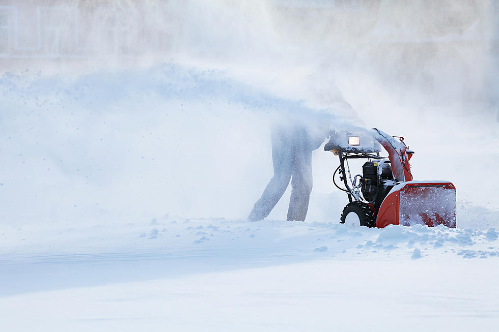
A Wintry Mix Wraps Up A Berkshires Weekend
WINTER WEATHER ADVISORY IN EFFECT FROM 7 AM SUNDAY TO 4 AM MONDAY...
Mixed wintry precipitation expected. Total snow and sleet accumulations of a half inch to up to two inches and ice accumulations of a coating to up to one tenth of an inch are expected. The Berkshires may receive 1 to 3 inches of snow, once the precipitation transitions to all snow Sunday night.
The winter storm is expected to hit the southwestern corner of Massachusetts first, near Great Barrington, early Sunday morning before traveling east. The Berkshires and northern parts of the Pioneer Valley and Central Massachusetts should expect a mix of snow, sleet and freezing rain into the evening.
Precipitation will transition back to snow late Sunday night into early Monday morning.
Icy conditions will be of concern Sunday, with ice accretion of a trace up to a tenth of an inch possible in areas expected to see a few inches of snowfall.
More From WUPE