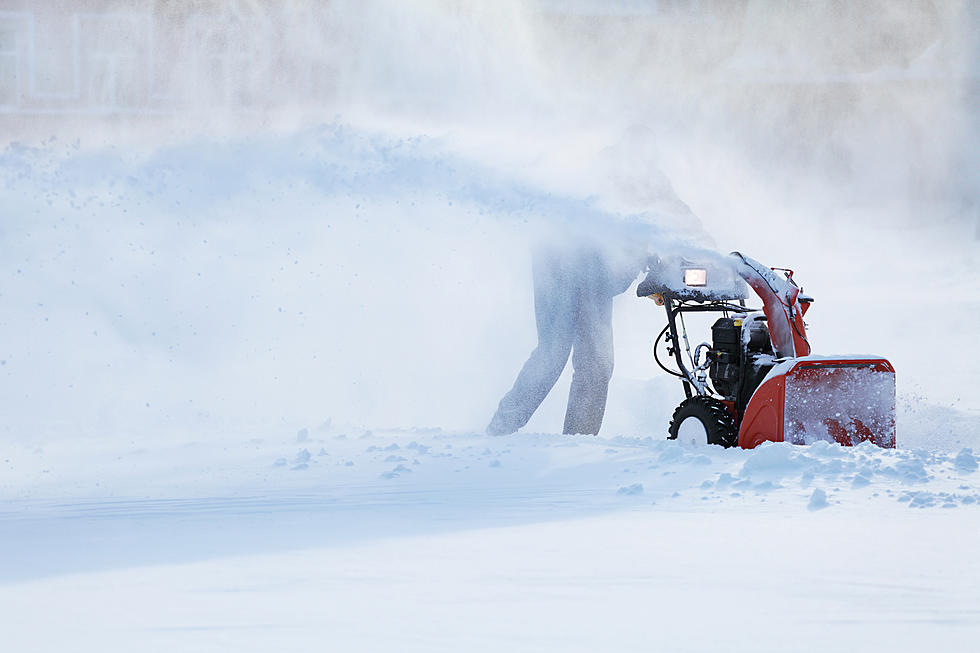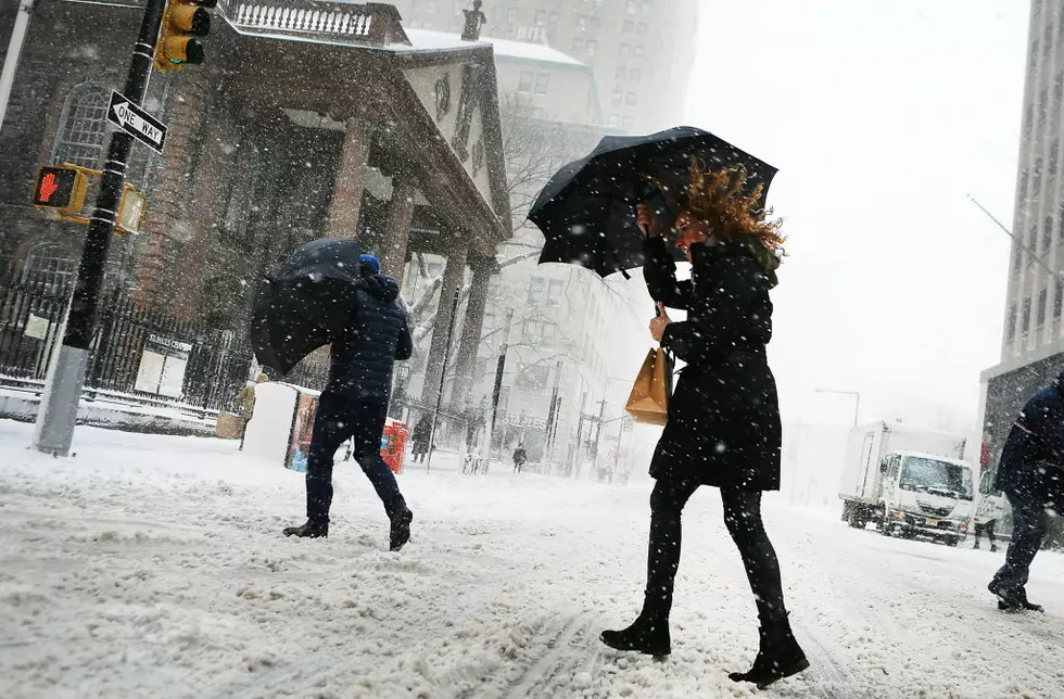
Another Storm Arriving in the Berkshires on Thursday
The storm that delivered snow, sleet and freezing rain to the Berkshires has moved out to make room for the next weather event expected to hit later in the day on Thursday into Friday. This upcoming storm will bring with it cold air and snow. Based on the current models, most of the Berkshires can expect 4 to 8 inches before it moves out late on Friday. The complete long-range forecast is below.

The National Weather Service often posts warnings and watches about upcoming weather events to alert the public about the potential danger of the event. WUPE will always inform listeners about the issued postings by the NWS but many of us do not know exactly what these watches and warnings mean. Below is an explanation from the mass.gov website.
Winter Storm Watches
It is likely that winter storm warning, blizzard warning, or ice storm warning criteria will be met due to the conditions of an upcoming storm.
Winter Storm Warning
6” of snow or more in a 12-hour period (or 8” of snow or more in a 24-hour period) expected within next 12 to 36 hours.
- Blizzard Warning — Sustained wind gusts greater than or equal to 35 mph AND considerable falling and/or blowing snow, resulting in reduced visibility of less than 1/4 mile for at least three hours.
- Ice Storm Warning — ½ inch or more of freezing rain.
Here is the complete National Weather Service Forecast for the Berkshires…
Tonight
A chance of snow showers, mainly before 9pm. Mostly cloudy, with a low around 13. West wind 14 to 17 mph, with gusts as high as 31 mph. Chance of precipitation is 30%. New snow accumulation of less than a half inch possible.
Wednesday
Sunny, with a high near 23. Wind chill values as low as zero. Northwest wind 9 to 13 mph, with gusts as high as 23 mph.
Wednesday Night
Increasing clouds, with a low around 8. Northwest wind 5 to 8 mph becoming calm after midnight.
Thursday
Snow likely, mainly after 2pm. Cloudy, with a high near 27. Calm wind becoming east around 5 mph in the afternoon. Chance of precipitation is 60%.
Thursday Night
Snow. Low around 21. Chance of precipitation is 100%.
Friday
Snow, mainly before 2pm. High near 30. Chance of precipitation is 100%.
Friday Night
A chance of snow before 8pm. Mostly cloudy, with a low around 15. Chance of precipitation is 50%.
Saturday
Partly sunny, with a high near 25.
Saturday Night
Partly cloudy, with a low around 8.
Sunday
Mostly sunny, with a high near 27.
Sunday Night
Mostly cloudy, with a low around 14.
Monday
A chance of snow showers. Mostly cloudy, with a high near 34. Chance of precipitation is 50%.
Monday Night
A chance of snow showers. Mostly cloudy, with a low around 22. Chance of precipitation is 50%.
Tuesday
Partly sunny, with a high near 36.
TIPS: Here's how you can prepare for power outages
More From WUPE