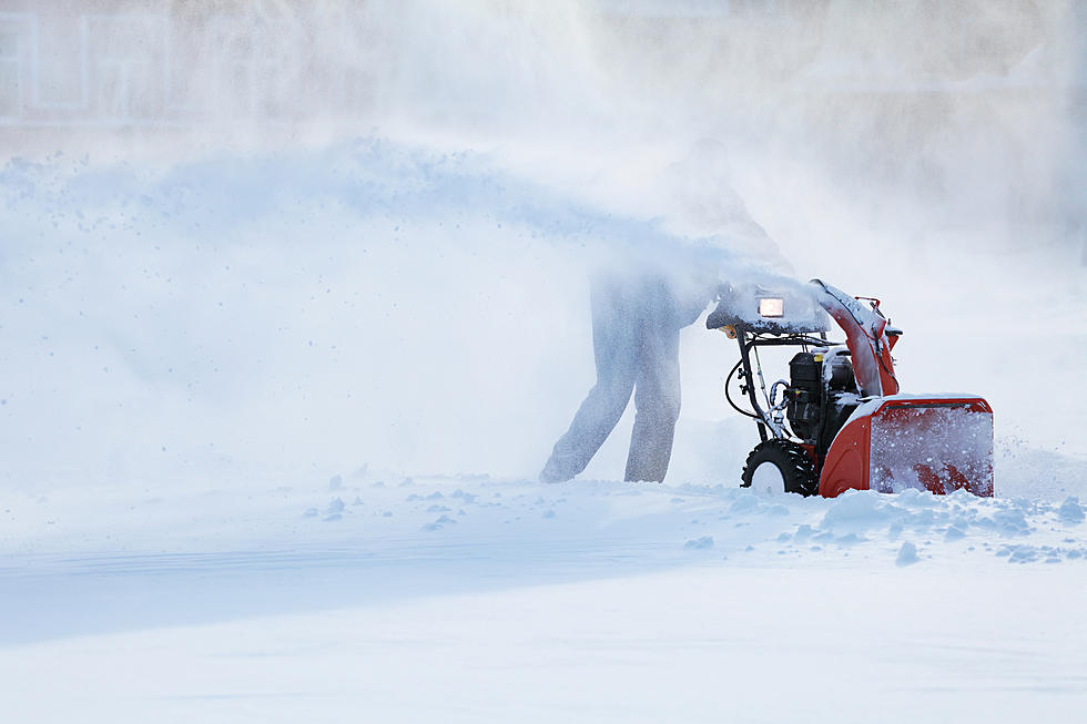
APRIL SNOW ON THE WAY…WINTER STORM WARNING IN EFFECT AT 8pm TONIGHT
Yes, it is mid-April but the National Weather Service has issued a Winter Storm Warning in effect beginning at 8 pm tonight until 2 am Saturday Morning. The National Weather Service is predicting that parts of the Berkshires could see 6 or more inches by the time the front moves out in the early hours of Saturday morning.
AccuWeather is also predicting 3 to 6 inches in parts of the Berkshires. Some Boston TV stations are predicting up to 9 inches of white stuff. The bulk of the snow will happen in the overnight hours tomorrow and throughout the day Friday. Rain will be the dominant factor beginning this morning and continue throughout the day until the changeover to snow late tonight.
Of course, it’s snowed in April before. One of the biggest snowstorms in New England weather history happened on April 1st in 1997. Mother Nature dumped 3 inches of wet snow an hour on the region. The snow was accompanied by hurricane force winds. Many parts of New England were forced to shut down. It is unlikely that this storm will even get close in comparison. There is no need to fret over this springtime speed bump, as forecast for Sunday and Monday is calling for the sun will return as well as the warmer temps with highs into the upper 50s, maybe even touching 60.
Below is the complete National Weather Service forecast for the Berkshires…
Today
Showers, mainly before 9am, then rain after 9am. High near 44. East wind 7 to 9 mph. Chance of precipitation is 100%. New precipitation amounts between a half and three quarters of an inch possible.
Tonight
Rain and snow, becoming all snow after 11pm. Low around 32. Northeast wind around 6 mph. Chance of precipitation is 100%. New snow accumulation of 2 to 4 inches possible.
Friday
Snow before 11am, then rain and snow between 11am and 5pm, then rain likely after 5pm. High near 38. North wind 8 to 11 mph. Chance of precipitation is 90%. New snow accumulation of 1 to 2 inches possible.
Friday Night
Rain showers likely, mixing with snow after 8pm, then gradually ending. Cloudy, with a low around 33. Northwest wind 8 to 10 mph. Chance of precipitation is 60%. New precipitation amounts of less than a tenth of an inch possible.
Saturday
Partly sunny, with a high near 49.
Saturday Night
Mostly cloudy, with a low around 34.
Sunday
Partly sunny, with a high near 55.
Sunday Night
Mostly cloudy, with a low around 37.
Monday
Partly sunny, with a high near 59.
Monday Night
Partly cloudy, with a low around 37.
Tuesday
Mostly sunny, with a high near 62.
Tuesday Night
Scattered showers. Mostly cloudy, with a low around 39. Chance of precipitation is 30%.
Wednesday
Partly sunny, with a high near 54.
LOOK: The most expensive weather and climate disasters in recent decades
Gallery Credit: KATELYN LEBOFF
More From WUPE