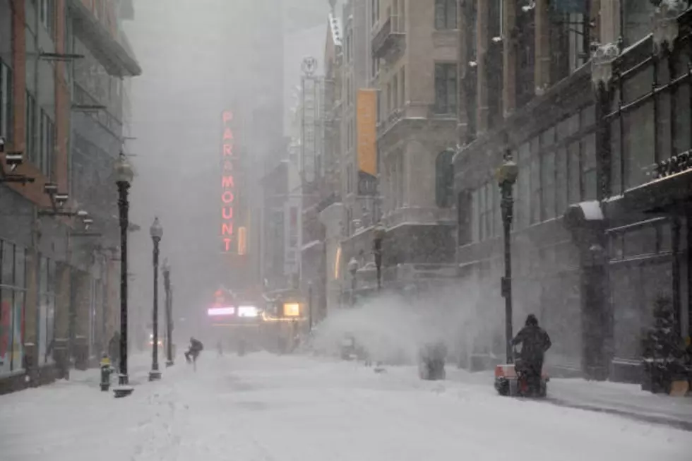
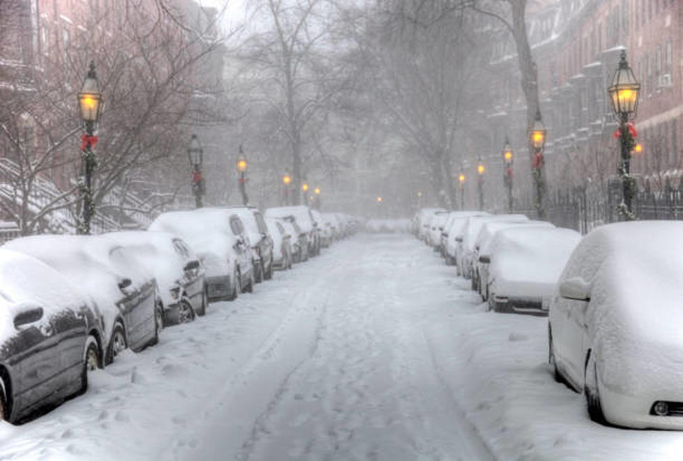
Are You Ready To Shovel Some Snow?
Behind today’s storm will come some of the coldest air of the season so far. Many parts of New England and the Berkshires will see temperatures in the 30s during the day both Wednesday and Thursday. The overnight lows will also bring a hard freeze. This cold air arrives with a period of strong winds, some of which could create scattered pockets of tree damage and maybe some power outages.
Today’s storm brought mostly rain to the Berkshires, but some areas to the north and the higher elevations saw a little snow. On Thursday night, a new low pressure area will ride northward along the coastline as another nor’easter. This storm will enter the region with cold air in place for some wintry precipitation at its start. It’s too early to say whether there will be any real accumulation early Friday morning, but the timing may be such that some inland areas get their first taste of winter driving for a few hours. This shouldn’t be a big snowstorm, so far predictions range from 1-3 inches and some as high as 3-5 inches.
Some good news as we head into the week of Thanksgiving, the cold air may retreat and give us a little break from the winter cold.
More From WUPE