

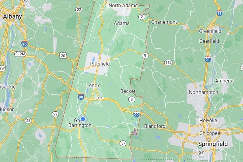
By Week’s End, The Berkshires Could See Another Round Of Snow
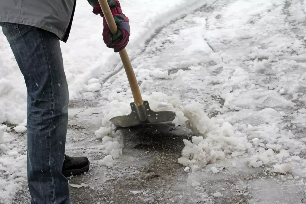
Fall is slowly but surely winding down, but folks like Ol' Man Winter and Mother Nature have other plans in mind for the beautiful Berkshires and our surrounding tri-state region as we were slammed with our first significant snowfall on Sunday. Some areas saw anywhere between 4 and 6 inches of the white stuff as Stockbridge and Lenox measured 8 inches plus on the ground and Pittsfield hit the jackpot of about 9 and a half inches as their neighbors in the hilly terrain picked up a bit over 8 inches which shows you how the trends regarding these storms could impact a a particular area.
But the big question looms regarding our next system which is scheduled to invade our area late Thursday night, Friday and early Saturday morning. There are mixed results when it comes to the latest maps which are not etched in stone just yet, but forecasters are predicting this could be another system that could cause major headaches for those who are NOT snow lovers, although our area ski resorts welcome this new addition as fresh snow surely surpasses packed powder on the slopes. Bottom line: We could see another round of this winter weather, although this time they are talking about a mixed bag which throws in the dreaded ICE word in this prognostication. Oh Boy!
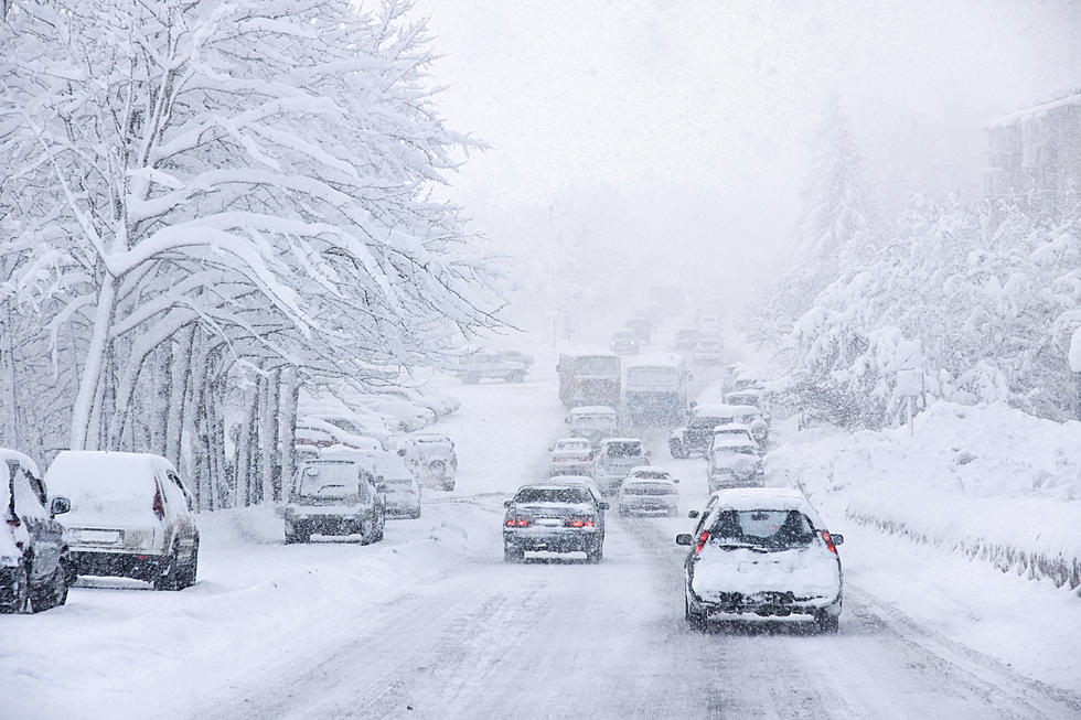
The next few days are safe as the air temperature will bring us up to the 40 degree mark, but we have been waking up to single digits which makes things more difficult to maneuver as sidewalks and side streets refreeze plus you need a hammer and chisel to get your car going. There are indications another storm will arrive in the Northeast by Thursday. Estimates are preliminary in nature, but you can bet on at least 1 to 3 inches Thursday and and additional 1 to 3 inches Thursday night. Friday could see another inch, while Friday night could see up to 3 additional inches before it is all said and done by Saturday morning. that translates into about ANOTHER 9 inches. We are just NOT ready for this yet, but the ol' saying says "Welcome To New England".
We'll be watching the weather maps with our friends at AccuWeather thoroughly as final numbers are NOT etched in stone. Keep in mind, the contents of this storm could go either way. We could see little to nothing OR be prepared to break out the extra shovels and snow blowers. As Asia used to say: "Only Time Will Tell"
LOOK: The most extreme temperatures in the history of every state
Gallery Credit: Anuradha Varanasi
More From WUPE


