Does Anyone Know What This Bizarre Sign On the Massachusetts Turnpike Means?
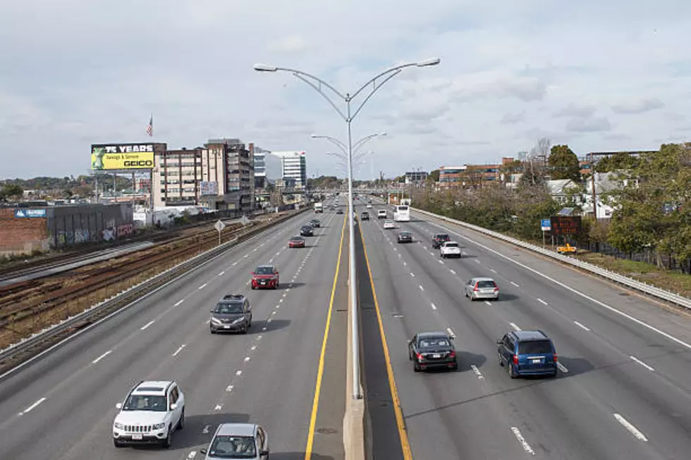
As someone who has hasn't lived in Massachusetts for all that long, I've had the pleasure of making a few trips from the western side of the state, all the way to Boston. And each time, when I jump on the Massachusetts Turnpike along I-90 for the drive, there is one road sign in particular that catches my eye going in each direction.
Of course, all road signs catch my eye since I am attentive to what they mean in relation to where I'm going, but this one is certainly out of the ordinary for most road trips considering that according to what it says, you won't see another road sign like it for approximately 1,575 miles.
The spot where the sign is along the Massachusetts Turnpike on I-90 rest within the town limits of Becket, MA. At first glance, the simplest explanation is that the elevation at that point along I-90 is 1,724 feet and it is the highest point until you travel all the way down the interstate to Oacoma, South Dakota, where it says that it's 1,729 feet. As previously mentioned, that distance is approximately 1,575 miles and takes about 23 hours and 30 minutes of driving time to cover.
However, the elevation of Oacoma, SD is only 1,381 feet, according to a topographic map. That seems a lot less than 1,729 feet. Another thing that seems suspect about all this is the fact there is not another sign like this in Oacoma, SD that references Massachusetts.
As Slate magazine mentions, a United States Geological Surveyor, Steve Reiter, pointed out the idea that maybe Oacoma is mentioned since it is the most significant point of interest west of the Missouri River, where the elevation starts to climb back up to that 1,729 number. This, despite the fact that it is not exactly in Oacoma, along I-90.
Oacoma, SD
Also, that whole 'Next Highest Elevation' is wrong since the elevation keeps climbing once you get west of the Missouri River along I-90. It continues to climb into Montana. The lowest elevation in Montana is 1,804 feet. Slate magazine also mentions that I-90 goes through Butte, MT, which has an elevation of 5,538 feet. Wouldn't that be the next HIGHEST elevation along I-90?
So many questions? Will we ever know what exactly that sign on the Massachusetts Turnpike means? Perhaps someone out there knows the answer. Perhaps you can help solve a mystery...Okay, now I'm just channeling the late, great Robert Stack on 'Unsolved Mysteries'. Unfortunately, it seems like this may be one of those...Except, more on like a G-rated version of the show.
This Massachusetts Home is 75+ Years Older Than the State
Gallery Credit: Realtor.com / NRG Real Estate Services, Inc.
10 MA Towns That Don't Sound Like They're in Massachusetts
Gallery Credit: Google Maps
Towns in the Berkshires That Could Be In Hallmark Christmas Movies
Gallery Credit: Google Maps
More From WUPE


