More Snow in the Berkshires Overnight and Through Tomorrow
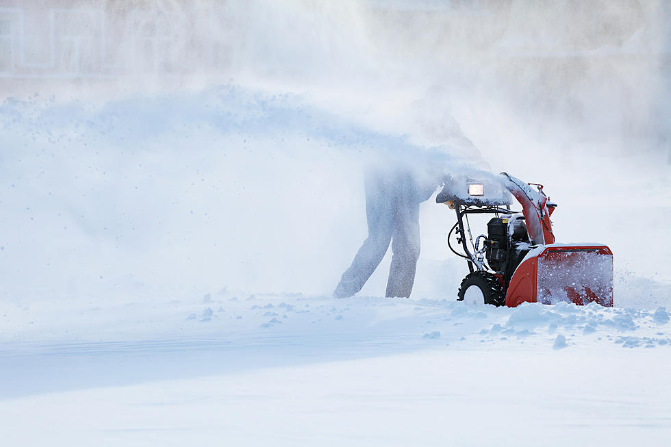
With the Super Bowl Sunday Nor’easter in the books another storm bringing snow will start affecting the Berkshires again on the overnight tonight and then throughout the day tomorrow.
Overnight tonight up to an inch and 2 to 4 inches tomorrow with some elevations in the Berkshires getting up to 6 inches. The snow should be light and fluffy with temps remaining well below freezing tonight and tomorrow. The cold temperatures will continue for the rest of the week.
Below is the long-range forecast for the Berkshires this weekend…
This Afternoon
Mostly sunny, with a high near 20. West wind around 6 mph.
Tonight
A chance of snow, mainly after midnight. Increasing clouds, with a low around 12. Calm wind. Chance of precipitation is 50%. New snow accumulation of less than a half inch possible.
Tuesday
Snow, mainly before 4pm. High near 28. Southeast wind around 6 mph becoming light and variable in the afternoon. Chance of precipitation is 80%. New snow accumulation of 2 to 4 inches possible.
Tuesday Night
A chance of snow, mainly before 7pm. Mostly cloudy, with a low around 13. Northwest wind 5 to 8 mph. Chance of precipitation is 30%. New snow accumulation of less than a half inch possible.
Wednesday
Mostly sunny, with a high near 23. Northwest wind 6 to 10 mph.
Wednesday Night
Mostly cloudy, with a low around 8.
Thursday
Mostly cloudy, with a high near 23.
Thursday Night
A chance of snow showers. Mostly cloudy, with a low around 9. Chance of precipitation is 40%.
Friday
A chance of snow showers before 1pm. Mostly cloudy, with a high near 19. Chance of precipitation is 50%.
Friday Night
Mostly cloudy, with a low around 4.
Saturday
Partly sunny, with a high near 20.
Saturday Night
A chance of snow showers. Mostly cloudy, with a low around 6. Chance of precipitation is 30%.
Sunday
A chance of snow showers. Partly sunny, with a high near 19. Chance of precipitation is 30%.

See the Must-Drive Roads in Every State
More From WUPE