National Weather Service Issues Winter Storm Watch Effective at 7am
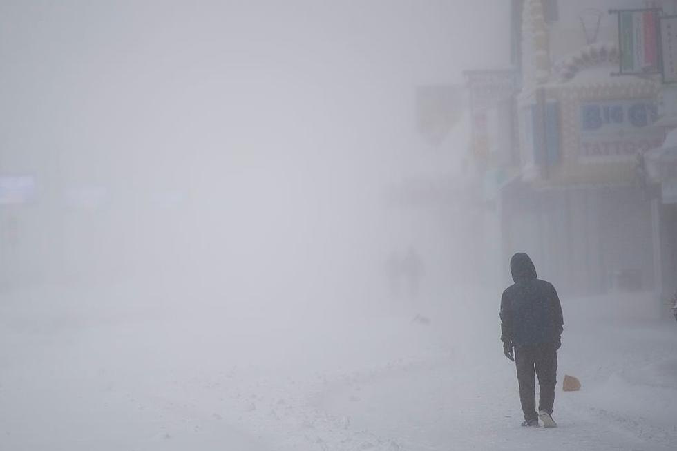
This morning a Winter Storm Watch goes into effect from the National Weather Service. The Watch is posted from Monday at 7am to 1pm Tuesday afternoon in Berkshire County and Litchfield County in Connecticut. The forecast calls for heavy snow with 12 inches or more possible in some areas accompanied by wind gusts up to 35mph. Some areas may receive between 8 to 10 inches.
Driving conditions will be hazardous and strong winds likely will cause downed trees leading to power outages. The storm is tracking south to north and it is expected to start impacting the area mid to late morning. Whoopee FM will have all the details as we activate Winter Watch with updated forecasts, road conditions, closings and cancellations.
Below is the long-range forecast for the Berkshires from the National Weather Service…
Tonight
A slight chance of snow after 3am. Mostly cloudy, with a low around 10. Wind chill values as low as -1. East wind 5 to 7 mph. Chance of precipitation is 20%.
Monday
Snow, mainly after noon. The snow could be heavy at times. High near 28. Wind chill values as low as zero. East wind 9 to 14 mph. Chance of precipitation is 90%. New snow accumulation of 2 to 4 inches possible.
Monday Night
Snow. The snow could be heavy at times. Low around 25. Northeast wind 15 to 18 mph, with gusts as high as 28 mph. Chance of precipitation is 90%. New snow accumulation of 3 to 7 inches possible.
Tuesday
Snow likely. Cloudy, with a high near 29. North wind 11 to 15 mph. Chance of precipitation is 70%. New snow accumulation of 1 to 2 inches possible.
Tuesday Night
Snow likely, mainly before 8pm. Cloudy, with a low around 21. Northwest wind 9 to 11 mph. Chance of precipitation is 70%.
Wednesday
A chance of snow showers. Cloudy, with a high near 29. Chance of precipitation is 30%.
Wednesday Night
A chance of snow showers before 8pm. Mostly cloudy, with a low around 19. Chance of precipitation is 30%.
Thursday
Mostly sunny, with a high near 32.
Thursday Night
Mostly cloudy, with a low around 20.
Friday
A chance of snow after 8am, mixing with rain after 2pm. Cloudy, with a high near 37. Chance of precipitation is 50%.
Friday Night
A chance of rain and snow. Mostly cloudy, with a low around 28. Chance of precipitation is 50%.
Saturday
A chance of rain and snow. Mostly cloudy, with a high near 37. Chance of precipitation is 40%.
Saturday Night
A chance of rain and snow. Mostly cloudy, with a low around 22. Chance of precipitation is 30%.
Sunday
A chance of snow. Mostly cloudy, with a high near 32. Chance of precipitation is 40%.
Cover photo courtesy of Courtney Chestnut

TIPS: Here's how you can prepare for power outages
More From WUPE