Snow On The Way…More Expected in South County than North County
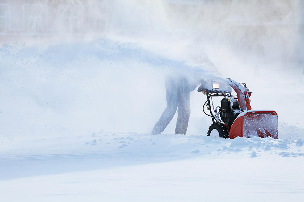
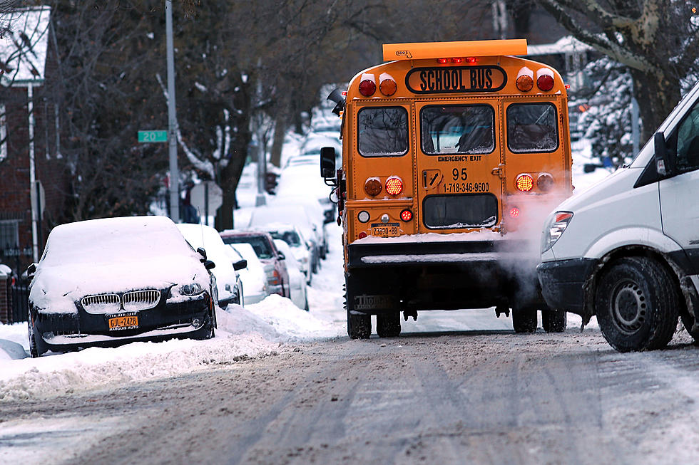
The first major winter storm is on its way. Snow is expected to arrive tomorrow night before midnight and be heavy snow by Thursday morning. Unlike most winter storms, the southern part of Berkshire County will be hit harder than north county. Of course, Mother Nature is unpredictable but snow accumulation totals in the Berkshires range between 2 to 10 inches with the higher totals in south country. Temps will be very cold that will produce a light powder and not the back-breaking wet snow that is dangerous to shovel and more difficult to clear.
With a Winter Storm Watch in effect beginning tomorrow afternoon, WUPE will keep you updated as WUPE’s Winter Watch will kick into gear with updated forecasts, cancelations, and road conditions throughout Thursday morning.
Click below for the complete long-range forecast for Berkshire County.
Today
Sunny, with a high near 29. Northwest wind 13 to 16 mph, with gusts as high as 28 mph.
Tonight
Partly cloudy, with a low around 7. Wind chill values as low as -1. Northwest wind 5 to 9 mph.
Wednesday
Mostly cloudy, with a high near 24. Wind chill values as low as zero. Light and variable wind becoming east around 6 mph in the afternoon.
Wednesday Night
Snow, mainly after 10pm. The snow could be heavy at times. Low around 15. East wind 6 to 10 mph. Chance of precipitation is 90%. New snow accumulation of 3 to 5 inches possible.
Thursday
Snow likely, mainly before 1pm. Mostly cloudy, with a high near 24. North wind 6 to 10 mph. Chance of precipitation is 70%.
Thursday Night
Partly cloudy, with a low around 10.
Friday
Sunny, with a high near 28.
Friday Night
Mostly clear, with a low around 9.
Saturday
Partly sunny, with a high near 31.
Saturday Night
Mostly cloudy, with a low around 20.
Sunday
Mostly cloudy, with a high near 35.
Sunday Night
Mostly cloudy, with a low around 24.
Monday
Partly sunny, with a high near 37.

See the Must-Drive Roads in Every State
More From WUPE