The Weekend Forecast for the Berkshires
After another snow-filled week we’ll get a break over the weekend. We could see some residual snow tonight but less than an inch expected. Tomorrow we may see a snow shower but no accumulation. Sunday will be bright and sunny with a high in the upper 20tys.
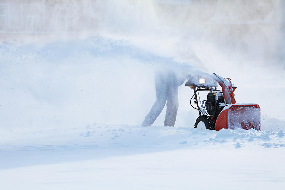
Since December 1st the area has seen 50 days of at least flurries. Since January 1st the area has been subject to 35 days of at least flurry activity. Snowfall for the region is around 52 inches of snow which is an increase of almost 10% of the average snow fall total for the year.
Here is the complete National Weather Service Forecast for the Berkshires…

Tonight
A chance of snow, mainly before 11pm. Mostly cloudy, with a low around 18. Calm wind becoming northwest 5 to 8 mph after midnight. Chance of precipitation is 40%. New snow accumulation of less than a half inch possible.
Saturday
Partly sunny, with a high near 26. Northwest wind 8 to 11 mph.
Saturday Night
Mostly cloudy, with a low around 13. Northwest wind 8 to 10 mph.
Sunday
Sunny, with a high near 27. Northwest wind around 8 mph.
Sunday Night
A slight chance of snow after 2am. Partly cloudy, with a low around 15. Chance of precipitation is 20%.
Monday
Snow likely, mainly after 2pm. Cloudy, with a high near 34. Chance of precipitation is 70%.
Monday Night
Snow likely before 1am, then scattered snow showers between 1am and 2am. Mostly cloudy, with a low around 27. Chance of precipitation is 70%.
Tuesday
Mostly cloudy, with a high near 36.
Tuesday Night
Mostly cloudy, with a low around 29.
Wednesday
Partly sunny, with a high near 40.
Wednesday Night
Mostly cloudy, with a low around 25
Thursday
Mostly cloudy, with a high near 37.
Thursday Night
Mostly cloudy, with a low around 19.
Friday
Mostly sunny, with a high near 30.
UP NEXT: See how much gasoline cost the year you started driving
More From WUPE