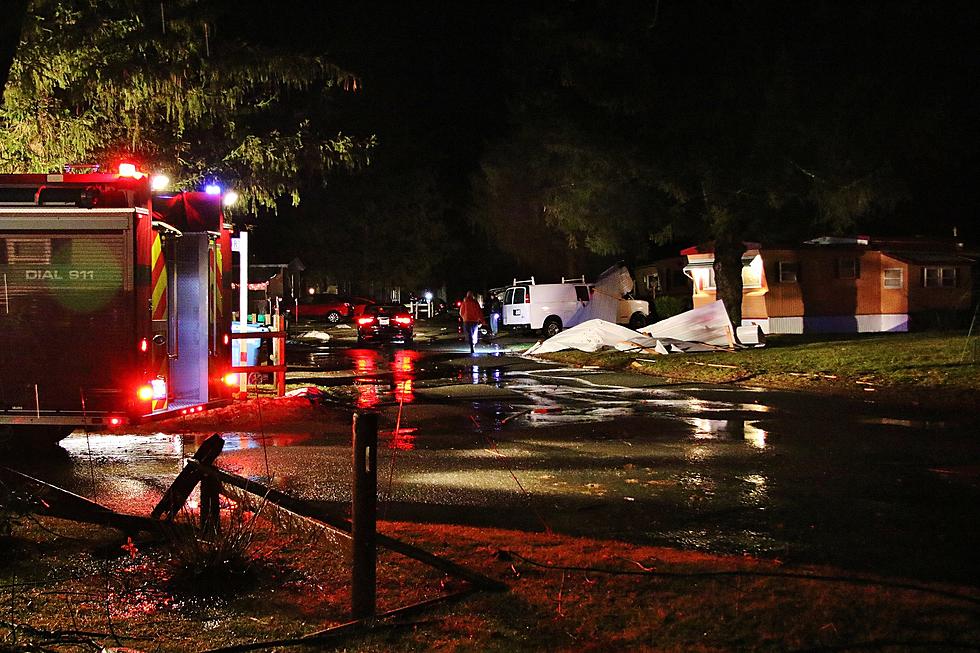
Tropical Storm Isaias Visiting the Berkshires Today – Updated Information
A Tropical Storm Warning and a Flash Flood Watch are in effect for the Berkshires today. As the day progresses so will the intensity of rain and wind. The current track of the storm has the Berkshires on the east side of weather mass. The east side of tropical storm tend to deliver more wind intensity than rainfall. Just the opposite on the west side of the storm.
Currently the Berkshires can expect the storm to drop 1 to 3 inches of rain and stead winds of 30 to 40 mph with gusts of 55 mph. The storm is moving quickly and the main thrust of the storm will be moving through the Berkshires this afternoon through tonight.
He is the latest information provided by the National Weather Service…
TROPICAL STORM WARNING REMAINS IN EFFECT...
* LOCATIONS AFFECTED
- Pittsfield
* WIND
- LATEST LOCAL FORECAST: Equivalent Tropical Storm force wind
- Peak Wind Forecast: 30-40 mph with gusts to 55 mph
- Window for Tropical Storm force winds: until early
Wednesday morning
- THREAT TO LIFE AND PROPERTY THAT INCLUDES TYPICAL FORECAST
UNCERTAINTY IN TRACK, SIZE AND INTENSITY: Potential for wind 58
to 73 mph
- The wind threat has remained nearly steady from the
previous assessment.
- PLAN: Plan for dangerous wind of equivalent strong tropical
storm force.
- PREPARE: Last minute efforts to protect life and property
should now be complete. The area remains subject to
significant wind damage.
- ACT: Now is the time to shelter from dangerous wind.
- POTENTIAL IMPACTS: Unfolding
- Potential impacts from the main wind event are unfolding.
* FLOODING RAIN
- LATEST LOCAL FORECAST: Flash Flood Watch is in effect
- Peak Rainfall Amounts: Additional around 1-2 inches
- THREAT TO LIFE AND PROPERTY THAT INCLUDES TYPICAL FORECAST
UNCERTAINTY IN TRACK, SIZE AND INTENSITY: Potential for
moderate flooding rain
- The flooding rain threat has remained nearly steady from
the previous assessment.
- PLAN: Emergency plans should include the potential for
moderate flooding from heavy rain. Evacuations and rescues
are possible.
- PREPARE: Consider protective actions if you are in an area
vulnerable to flooding.
- ACT: Heed any flood watches and warnings. Failure to take
action may result in serious injury or loss of life.
- POTENTIAL IMPACTS: Significant
- Moderate flooding may prompt several evacuations and
rescues.
- Rivers and tributaries may quickly become swollen with
swift currents and overflow their banks in a few places,
especially in usually vulnerable spots. Small streams,
creeks, canals and ditches overflow.
- Flood waters may enter some structures or weaken
foundations. Several places may experience rapid inundation
of underpasses, low-lying spots, and poor drainage areas.
Some streets and parking lots take on moving water as storm
drains and retention ponds overflow. Driving conditions
become hazardous. Some road and bridge closures.
* TORNADO
- LATEST LOCAL FORECAST:
- Situation is somewhat favorable for tornadoes
- THREAT TO LIFE AND PROPERTY THAT INCLUDES TYPICAL FORECAST
UNCERTAINTY IN TRACK, SIZE AND INTENSITY: Potential for a few
tornadoes
- The tornado threat has remained nearly steady from the
previous assessment.
- PLAN: Emergency plans should continue to include possible
tornadoes.
- PREPARE: Stay within your shelter keeping informed of the
latest tornado situation.
- ACT: Move quickly to the safest place within your shelter
if a tornado warning is issued.
- POTENTIAL IMPACTS: Limited
- The occurrence of isolated tornadoes can hinder the
execution of emergency plans during tropical events.
- A few places may experience tornado damage, along with
power and communications disruptions.
- Locations could realize roofs peeled off buildings,
chimneys toppled, mobile homes pushed off foundations or
overturned, large tree tops and branches snapped off,
shallow-rooted trees knocked over, moving vehicles blown
off roads, and small boats pulled from moorings.

More From WUPE


