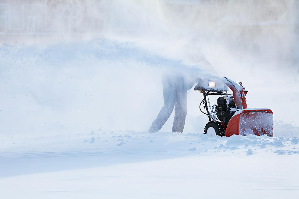
We May See Our First Snow This Weekend
From Our Weather Team at Accuweather
Most Americans in the Northeast won't need to dig out their snow shovels just yet as meteorologists are not forecasting snow for the bulk of the region for some time yet. However, skiing and winter weather enthusiasts' hearts may beat a little faster as some of the highest elevations in the region are likely to be capped with snow this weekend.
A storm is forecast to form and rapidly strengthen along the leading edge of colder air along the Atlantic coast on Friday. It is possible the storm strengthens enough to be classified as a bomb cyclone, where the atmospheric pressure at the storm's center falls at least 0.71 of an inch (24 millibars) in 24 hours. In layman's terms, this will be a potent storm with heavy precipitation and gusty winds regardless of the scientific criteria being met or not.
Cold air is forecast to catch up with the backside of the rainstorm in such a way as to allow precipitation to change over to accumulating snow over the ridges and peaks of the Adirondacks of northern New York state and the Green and White Mountains of Vermont and New Hampshire on Saturday.
AccuWeather Senior Storm Warning Meteorologist Brian Wimer said,
"It is not totally out of the question that snowflakes may be seen even at some of the intermediate elevations in the Catskills, Berkshires and Poconos with this event."
If a few flakes fly in the Poconos and Catskills it would have to be late Friday night as the storm will continue to move along and dry air will sweep in its wake.
It is during the latter part of this rainstorm when a quick change to accumulating snow on Saturday is forecast to occur over some of the interior mountains of the region.
Precipitation rates during the storm will be heavy to intense so even if it snows for only a few hours at the end, that could be enough to bring several inches of snow above 3,000 feet with 6-12 inches possible on the highest peaks and ridges in wooded or grassy areas.
More From WUPE