Wind & Winter Weather Advisory For The listening Area
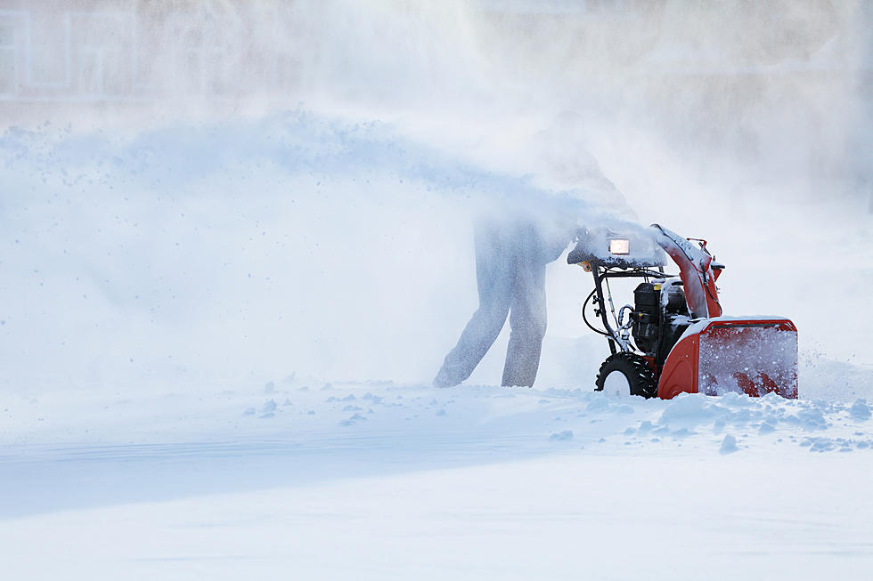
Get Ready to drag out the snow boots, snow shovels, and gloves probably a hat would help too.
We Have gnarly weather heading our way.
Folks here in the listening area may feel like the calendar has flipped to December as opposed to November as cold winds and a healthy dose of snow for some sweep through the region early this week.
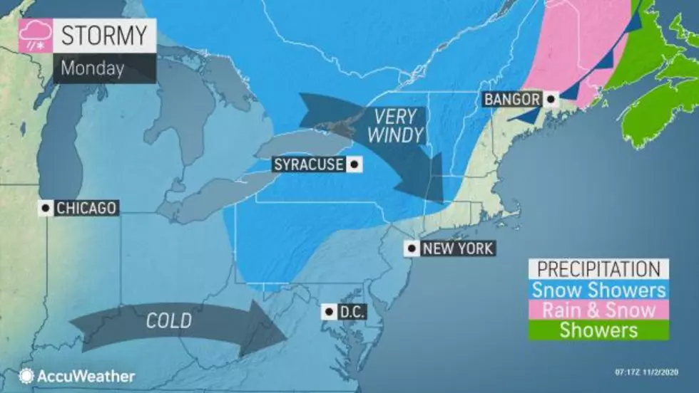
Our Weather Partner Accuweather says Lake-effect snow showers began in earnest as cold air behind the front swept over the mild waters of the Great Lakes.
The National Weather Service in Albany, N.Y., has issued a winter weather advisory through Tuesday morning with snow accumulations ranging from 3 to 8 inches in Southern Vermont and the Northern Berkshire.

AccuWeather Senior Meteorologist Mike Doll said.
"In the wake of the front, it has turned colder and quite windy,"
Lake-effect snow showers are forecast to persist into Monday afternoon, and there could be some heavier snow bands, known as snow squalls. These squalls can cause sudden reductions in visibility and a quick, slippery covering of snow on the roadways, including on stretches of interstates 75, 81 and 90.

A weak storm diving out of Canada will bring yet another dose of snow to portions of New York state and New England late Monday and into at least the morning hours of Election Day, with the potential for a few inches of new snowfall accumulation.

So even though the region is in for a cold shock, it will be brief and we'll will be able to turn off heaters and maybe even swing open the windows in just a few days.

TIPS: Here's how you can prepare for power outages
More From WUPE