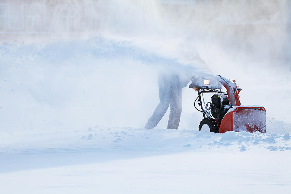
National Weather Service Albany,
WINTER WEATHER ADVISORY IN EFFECT FROM 1 AM TUESDAY TO 1 AM EST
WEDNESDAY

.* WHAT...Snow expected. Total snow accumulations of 2 to 6
inches.

* WHERE...Western and central Mohawk Valley, Schoharie Valley,
Capital Region, Lake George Saratoga Region, northern and
Central Taconics, Southern Vermont and the Northern Berkshires.

* WHEN...Snow begins before daybreak Tuesday morning and ends
Tuesday evening.

* IMPACTS...Plan on slippery road conditions. The hazardous conditions could impact the morning and evening commutes.
Snow squalls are possible on Wednesday, as an arctic cold front crosses the region. Behind the front, bitter cold temperatures will occur through the end of the workweek.

Wind Chill Advisories may be needed for parts of the area Wednesday night into Thursday, especially for the higher terrain.

Infographics_winterhazards-08-snow-squalls
loading...
Infographics_winterhazards-07-freezing-drizzle
loading...
Infographics_winterhazards-06-first-snow
loading...


Weather Outlook:

Today
Partly sunny, with a high near 33. West wind around 5 mph becoming light and variable in the afternoon.
Tonight
Snow likely, mainly after 4 am. Increasing clouds, with a low around 23. Light and variable wind. The chance of precipitation is 60%. New snow accumulation of less than one inch possible.
Tuesday
Snow. High near 31. North wind 3 to 6 mph. The chance of precipitation is 90%. New snow accumulation of 2 to 4 inches possible.
Tuesday Night
A chance of snow before midnight, then a slight chance of snow showers between midnight and 1 am. Mostly cloudy, with a low around 22. Northwest wind 3 to 7 mph. The chance of precipitation is 30%. New snow accumulation of less than a half-inch possible.
Wednesday
A chance of snow showers, mainly after 1 pm. Partly sunny, with a high near 32. Light southwest wind becoming west 8 to 13 mph in the morning. The chance of precipitation is 40%.

tips and photos courtesy of NOAA
 

More From WUPE