Welcoming 2021 In The Berkshires With A Wintry Mix This Weekend
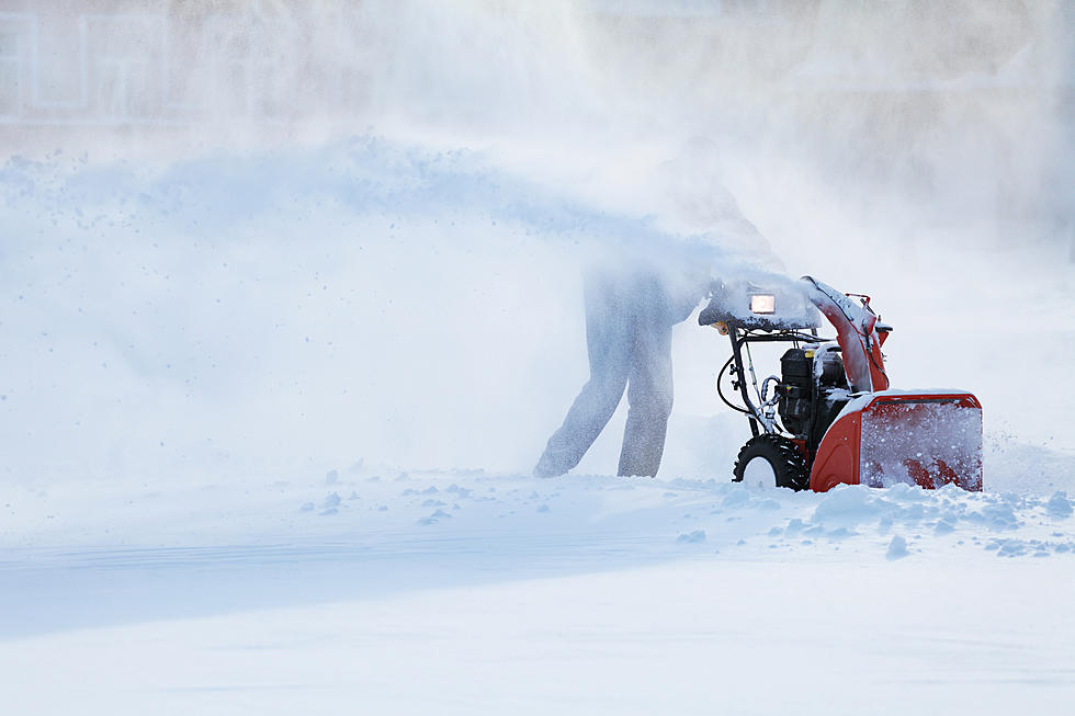
Following a light mix of snow, sleet, and rain showers we had this morning, a more potent wintry storm is shaping up for the Berkshires early this weekend.
Snow is expected to break out late Friday evening, followed by a period of sleet and freezing rain overnight, according to the National Weather Service in Albany, N.Y. Temperatures are expected to hover just below freezing, making roads treacherous.
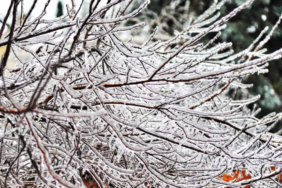
A moderate accumulation of snow and sleet is possible, especially north of the Massachusetts Turnpike, along with a coating of ice from the freezing rain. Winter weather advisories are expected to be issued.
This Hazardous Weather Outlook is for northwestern Connecticut,
western Massachusetts, eastern New York and southern Vermont.
.DAY ONE...Today and tonight.
There is a low probability for widespread hazardous weather.
.DAYS TWO THROUGH SEVEN...Friday through Wednesday.
A storm system will bring a wintry mix of snow, sleet and freezing rain late Friday through Saturday. Light to moderate accumulation of snow and ice is possible for much of the area. A Winter Weather
Advisory will likely be needed.
Another storm may bring accumulating snowfall to much of the region
Sunday into Sunday night. At this time light to moderate accumulations are possible, although this could change as the event draws closer.
As far as the weekend forecast sits.
TonightPartly cloudy, with a low around 18. Northwest wind 5 to 9 mph.
New Year's DayMostly sunny, with a high near 35. Light and variable wind.
Friday NightSnow and sleet before 2am, then freezing rain and sleet between 2am and 4am, then freezing rain after 4am. Low around 26. Southeast wind 3 to 8 mph. Chance of precipitation is 100%. New snow and sleet accumulation of 1 to 3 inches possible.
Saturday Freezing rain before 10am, then rain likely. High near 38. East wind 7 to 10 mph becoming west in the afternoon. Winds could gust as high as 21 mph. Chance of precipitation is 90%. New precipitation amounts between a tenth and quarter of an inch possible.
Saturday NightPartly cloudy, with a low around 26.
SundaySnow likely, mainly after 1pm. Mostly cloudy, with a high near 35. Chance of precipitation is 70%.
Sunday NightSnow. Low around 28. Chance of precipitation is 80%.
Monday chance of snow showers. Mostly cloudy, with a high near 36. Chance of precipitation is 30%.

More From WUPE